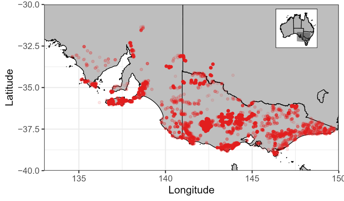
Bushfire fuel hazard is determined by fuel hazard that represents the type, amount, density, and three-dimensional distribution of plant biomass and litter. The fuel hazard represents a biological control on fire danger and may change in future with plant growth patterns. Rising atmospheric CO2 concentration (Ca) tends to increase plant productivity (‘fertilisation effect’) but also alters climate, leading to a ‘climatic effect’. Both effects will impact on future vegetation and thus fuel hazard. Quantifying these effects is an important component of predicting future fire regimes and evaluating fire management options. Here, by combining a machine learning algorithm that incorporates the power of large fine-resolution datasets with a novel optimality model that accounts for the climatic and fertilisation effects on vegetation cover, we developed a random forest model to predict fuel hazard at fine spatial resolution across the state of Victoria in Australia. We fitted and evaluated model performance with long-term (i.e., 20 years), ground-based fuel observations. The model achieved strong agreement with observations across the fuel hazard range (accuracy >65%). We found fuel hazard increased more in dry environments to future climate and Ca. The contribution of the ‘fertilisation effect’ to future fuel hazard varied spatially by up to 12%. The predictions of future fuel hazard are directly useful to inform fire mitigation policies and as a reference for climate model projections to account for fire impacts.